Experimentation of a system for the optimization of treatment processes on espalier fruit plants
The aim of the project is to apply the high precision measurement technique of the leaf surface to reduce the environmental impact by reducing the use (quantity) of the treatment products and lowering the use of water resources.
Similar experiments have shown that the savings in terms of product can be estimated between 15% and 25%.
Another aspect to consider is the possibility of measuring the leaf coverage in a variable period of time to determine with extreme precision the degree of growth of cultivation in the various areas (data georeferencing).
In this way it is possible to apply precision farming techniques.
- Management and coordination of activity
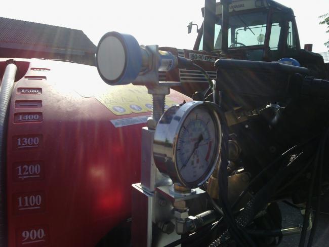
- Definition of System Specifications: spraying system requirements; Definition of management software specifications
- Implementation of Data Collection System: Realization of data acquisition system; Acquisition of data in the field; Analysis and post-processing of data
- Realization of prototype system: Prototype construction; Software realization; in-field tests execution
- Final trials: field trials; Analysis of results and reports production
- Publicizing the results obtained: Creation of information material and dissemination; Realization of a website dedicated to the project.
From the sixth 2010 census of Marche region agriculture: "The vine, a traditional Marche region culture with just over 14 thousand farms and just under 17 thousand hectares in 2010, has shown more consistent decreases in the number of companies than the dedicated area, with the consequent increase in the average size of the company: at the regional level, there has been an average of 0.5 hectares per farm in 1982 (in Italy 0.7 hectares) to 1.2 in 2010 (in Italy 1.7 hectares) Ascoli Piceno, with almost 2,500 farms and more than 6,000 hectares, is the province with the highest average size (2.5 hectares in 2010, compared to 1.0 in 1982), while Macerata has the lowest (0 , 6 hectares in 2010, compared to 0.4 in 1982).
In the provinces of Ascoli Piceno and Ancona, 64.8% (almost two thirds) of the Marche vineyard area is concentrated.
The characterization of leaf coverage is a key factor in improving the methods of application of pesticides in tree crops and vineyards.
The development of rapid, easy and efficient methods to determine the fundamental parameters used to characterize the structure of the canopy is therefore an important need.
All the farms in the wine, organic and traditional sector, which carry out treatments in the vineyards will be able to have a concrete saving in the face of a very limited investment.
In the immediate future, this project will allow the analysis of leaf coverage in a direct manner without resorting to specific and costly mapping campaigns done with drones or with systems "on the vineyard" such as the use of "quads" or tractors equipped with specific equipment only for analysis and mapping.
The LiDAR (Light Detection and Ranging) technology is an environmental detection technique already used in agriculture and the environment applications that allows to determine the spatial coordinates and the point elevation based on the return time of a laser pulse, providing a data mesh topographic data of great density and high precision in a very short time, even on large areas, allowing the identification, characterization and mapping of the morphology, both natural and anthropic. The processing of the coordinate mesh provided by the LiDAR allows the definition of Digital Terrain Models (DTMs), surface (DSM).
The system will be integrated with the computer (electronic control unit) which will control the quantity of product dispensed (Sprayer Controller) and with a GPS for spatial correlation.
Both these systems will be acquired for testing as they are already available on the market.
Another innovation will be to collect all the geolocalised information acquired by the system in a centralized way and allow more effective future treatments planning.
The testing and functional demonstration will be carried out at the partner companies' estates and will be supervised by the Marche Polytechnic University which will determine the scientific validity of the obtained results.
| Titolo/Descrizione | Url | Tipologia |
|---|---|---|
|
Sito web del progetto
|
Sito web
|